Sediment Profile Imaging
Illustration and photography to support discussion of Sediment Profile Imaging (SPI). Learn more at www.INSPIREenvironmental.com.

INSPIRE Environmental scientists are best known as the original developers of Sediment Profile Imaging and our staff have more experience than anyone in acquiring and interpreting images. From this core focus, our team has expanded to include expertise in seafloor, water quality, hydrodynamics, and watershed assessment: capabilities that provide support to a full range of coastal and ocean projects.
We start by reading the history of the seafloor through a combination of optical and acoustic methods, including an innovative camera that “optically cores” sediments and gives us a worm’s eye view. These detailed images are combined with high resolution acoustic maps to provide an unparalleled view of the seafloor as a basis for site assessment. Our company was formed to address problems associated with understanding seafloor and water column dynamics, from basic habitat mapping to assessment of both natural and human impacts.

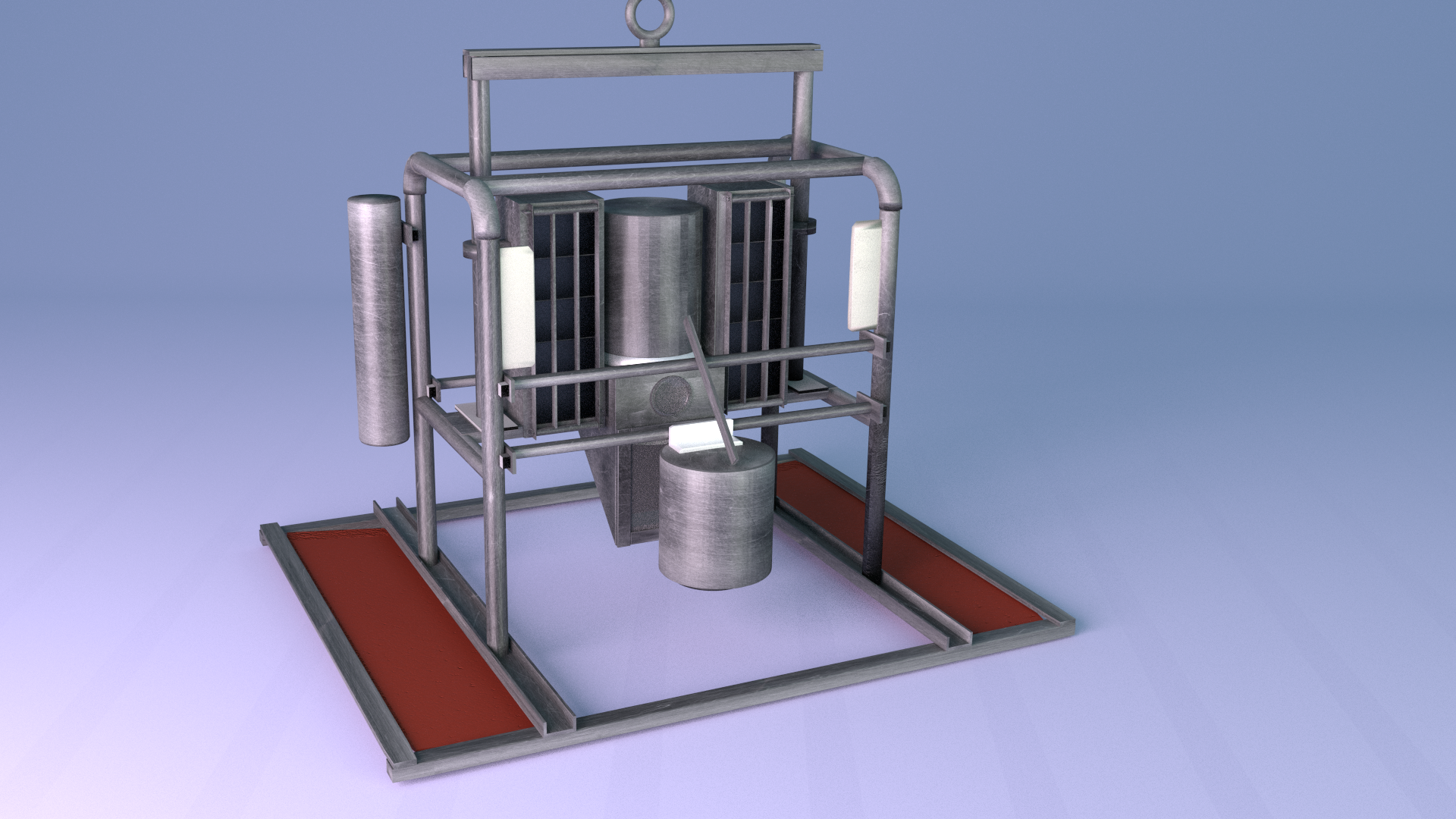
SPI technology has been used extensively throughout the United States for the past 20 years to monitor the environmental impacts of dredged material disposal, characterize sediment quality, and look for pollution “hot spots”. This optical coring device works like an upside-down periscope and takes cross-sectional images of the upper 20 cm of the seafloor.

Ampharetid tubeworms suspension feeding shot through the lens of a SPI camera system. The deep red layer over black sediment and presence of large polychaete worms indicate a healthy benthic community at this location.